Precision navigation
Turn-by-turn directions to exact destinations. Help visitors find shipping gates, medical stations, emergency shelters, and exits.
Turn a complex facility into a clear route. Help drivers, contractors, and visitors get where they need to go with up-to-date maps and site information.
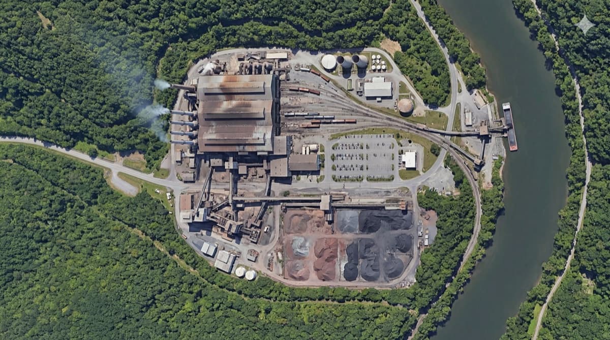
Give people a useful map before a wrong turn becomes a delay.
Turn-by-turn directions to exact destinations. Help visitors find shipping gates, medical stations, emergency shelters, and exits.
Reduce wrong-gate entries and loading-dock confusion. Get drivers to the right destination on their first visit.
Keep facility maps current as construction, roadwork, closures, and plant development change the way people move.
Replace printed maps and unreliable radio directions with clear guidance on a visitor’s own device.
From the facility layout to the next turn, connect the information visitors need.
Add roads, gates, docks, and key locations. Update the map as roadwork or development changes the layout.
Share the facility access process with contractors, drivers, and on-site visitors so everyone starts with consistent guidance.
Give visitors directions to the correct gate, route, and destination inside the facility.

The information around the journey matters just as much as the directions.
Highlight shelters, medical stations, exits, and restricted areas. Share closures, traffic adjustments, and gate changes.
Support a diverse visitor base with multilingual directions, instructions, and site notifications.
Present site-specific safety messages for visitors to review and acknowledge. Provide required safety videos in multiple languages.
Visitors use their own devices without pre-registration. Keep guidance accessible as they enter and move through the site.
Detailed guidance inside the gates of large, changing sites.
Show us the routes, gates, and destinations your visitors need to find.
Add indoor and outdoor visibility into forklifts, vehicles, and tagged inventory.